Local business? Support local news on AllenWeekly.news

Back to Weather

5-day forecast / Allen, TX

MondayMostly Sunny80° / 60°
TuesdayMostly Sunny81° / 61° 9%
WednesdayMostly Sunny83° / 64° 7%
ThursdayMostly Cloudy82° / 62° 5%
FridayChance Rain Showers74° / 59° 50%

Allen Heat Wave Continues: 98F High Today, Storms Possible Tomorrow - Jul 11, 12 PM

Allen weather, updated every four hours — local forecasts you can trust.

Allen faces another day of intense heat with highs near 98F and feels-like temperatures up to 104F. Scattered showers and thunderstorms may arrive tomorrow afternoon.

Zane Lowery· AI-assisted, edited by Jake Team

July 11, 20262 min read

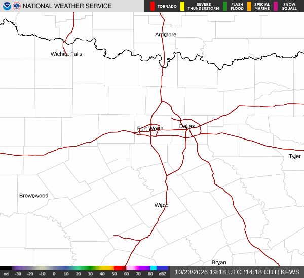
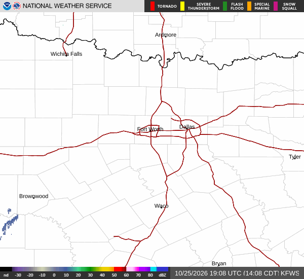
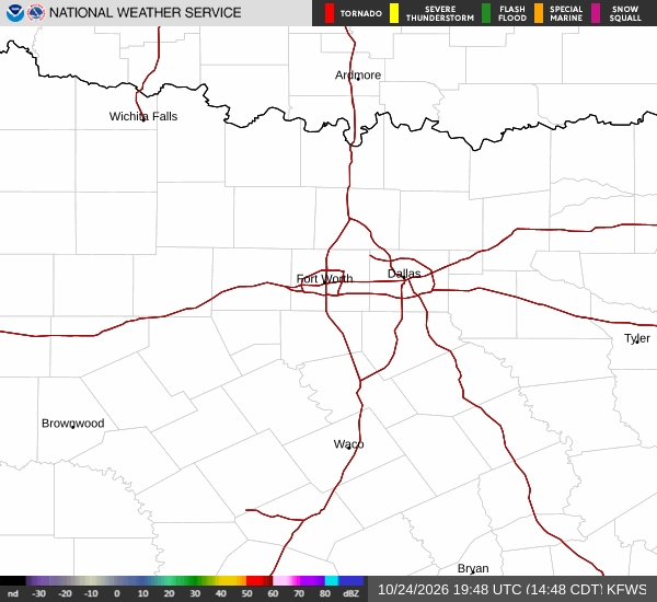
National Weather Service radar for North Texas (KFWS)

*As of Jul 11, 12 PM local time.*

Intense Heat Persists in Allen

Allen residents are bracing for another day of sweltering conditions this Saturday afternoon. The air temperature currently sits at 90F, but the heat index makes it feel like 96F. Humidity levels are significant, with a dew point of 72F and relative humidity at 56%. The sky remains clear, and winds are blowing from the south southwest at 5 to 10 mph.

Today, the National Weather Service forecasts a high near 98F. Heat index values are expected to climb as high as 104F during the peak heat of the day. The chance of precipitation is minimal at just 1%, leaving the sky sunny and dry.

Temperatures will drop to a low near 79F tonight, though they may rise slightly to around 81F overnight. Heat index values will remain elevated at around 102F. Winds will shift to the south at 5 to 10 mph, with mostly clear skies expected.

Storms Possible Tomorrow

The heat will persist into tomorrow, with a high near 96F. However, the chance for precipitation increases significantly to 38%. A slight chance of rain showers is possible between 10am and 1pm, followed by a chance of showers and thunderstorms between 1pm and 4pm.

Conditions may remain unsettled with a chance of showers and thunderstorms continuing later. The sky will be mostly sunny, with temperatures falling to around 94F in the afternoon. Heat index values could reach as high as 105F.

Winds will be light, around 5 mph from the south southwest. The chance of precipitation is listed at 40%, with new rainfall amounts between a quarter and half of an inch possible.
Tomorrow night brings a chance of showers and thunderstorms before 7pm, followed by likely showers and thunderstorms. Skies will be mostly cloudy, with a low around 76F. Heat index values may reach 101F. Winds will be light, from the southeast at 0 to 5 mph. The chance of precipitation is 60%, with another quarter to half an inch of rain possible.

Safety Reminders

Given the extreme heat, stay hydrated and limit midday exertion. Check on elderly neighbors and ensure pets have access to cool water and shade. If storms develop tomorrow, be prepared for sudden changes in weather and seek shelter if thunder is heard.

National Weather Service radar for North Texas (KFWS)

Sources

National Weather Service radar

National Weather Service forecast data

Open-Meteo weather data

Share

Zane Lowery· AI-assisted, edited by Jake Team

Zane Lowery covers weather, storms, and seasonal life around Allen.

Related Stories

More in Sport