Back to Weather

5-day forecast / Allen, TX

TuesdaySunny105° / 82° 1%
WednesdaySunny104° / 82°
ThursdaySunny103° / 81° 4%
FridaySunny103° / 80° 2%
SaturdaySunny102° / 80° 4%

Allen Faces Severe Heat Warning as Temperatures Hit 102F - Aug 17, 5 PM

Allen weather, updated every four hours — local forecasts you can trust.

An Extreme Heat Warning is active for Allen, with current temperatures at 102F and a feels-like value of 105F. Residents should stay hydrated and limit outdoor activity during peak heat hours.

Zane Lowery

August 17, 20262 min read

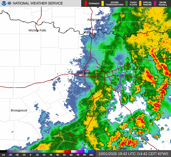
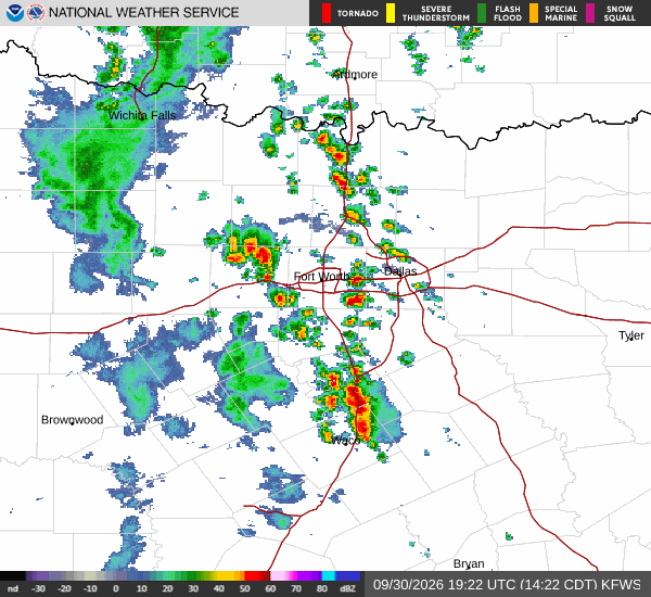
National Weather Service radar for North Texas (KFWS)

*As of Aug 17, 5 PM local time.*

Current Conditions and Alerts

Allen is currently under an Extreme Heat Warning, indicating severe heat conditions that pose significant health risks. The air temperature stands at 102F, with a feels-like value of 105F due to the combination of heat and humidity. Relative humidity is at 28%, and the dew point is 63F.

Winds are light at 8 mph, with gusts reaching 4 mph, and the sky remains clear. Additionally, a Heat Advisory is in effect, and an Air Quality Alert has been issued by the National Weather Service. These alerts highlight the need for caution as dangerous heat levels persist across the region.

Today's and Tonight's Outlook

Today, the high is expected to reach near 104F, with a low of 82F. The chance of precipitation is minimal at 9%, and sunny conditions will dominate. Heat index values may climb as high as 106F, making the perceived temperature even more intense.

South winds will blow around 5 mph. Tonight, the sky will be mostly clear, with temperatures dropping to around 82F before rising to 84F overnight. Heat index values could reach 103F, and south winds will continue at approximately 5 mph.

Residents should be aware that nighttime temperatures remain uncomfortably warm, offering little relief from the daytime heat.
Tomorrow's Forecast and Safety

Tomorrow, the high will be near 105F, with a low of 82F. Sunny skies are expected, and the chance of rain is only 1%. Heat index values may reach 105F, with southwest winds ranging from 5 to 10 mph.

Tonight, temperatures will stay around 82F, rising to 85F overnight, with heat index values potentially reaching 104F. South winds will be around 10 mph. Given the persistent heat, it is crucial to stay hydrated, limit outdoor exertion during the hottest parts of the day, and check on vulnerable neighbors.

The combination of high temperatures and low humidity increases the risk of heat-related illnesses, so taking preventive measures is essential for safety.

National Weather Service radar for North Texas (KFWS)

Sources

https://radar.weather.gov

https://api.weather.gov

https://open-meteo.com

Share

Zane Lowery

Zane Lowery covers weather, storms, and seasonal life around Allen.

Related Stories

More in Sport