*As of Sep 20, 2 PM local time.*
Dangerous Heat Dominates Afternoon
The primary concern for Allen residents this afternoon is the intense heat. The air temperature currently sits at 97F, but the combination of warmth and moisture creates a feels-like temperature of 104F. This level of heat index is considered dangerous, particularly for those spending time outdoors.
The relative humidity is 42%, and the dew point stands at 70F, contributing to the muggy sensation. Winds are blowing from the south at 14 mph, with gusts reaching 20 mph, though the sky remains clear. The official forecast indicates a high near 96F for today, with a low near 72F.
The chance of precipitation is currently low at 8%, and conditions are expected to remain mostly sunny.
Storms Expected Tonight and Tomorrow
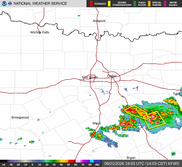
As evening approaches, the weather pattern will shift. A chance of showers and thunderstorms is expected after 7pm tonight. The sky will become mostly cloudy, and temperatures will rise slightly to around 74F overnight.
The chance of precipitation is 40%, with new rainfall amounts between a tenth and a quarter of an inch possible. Winds will shift to the east at 5 to 10 mph. Tomorrow will bring a continued chance of showers and thunderstorms, with a high near 92F and a low near 73F.
The sky will be mostly sunny, but the chance of precipitation remains at 40%. Rainfall amounts are expected to be similar, between a tenth and a quarter of an inch. Winds will be light from the east-northeast at around 5 mph.