Back to Weather

5-day forecast / Allen, TX

SundayScattered Showers And Thunderstorms95° / 74° 28%
MondayChance Showers And Thunderstorms95° / 75° 29%
TuesdayMostly Sunny95° / 75° 1%
WednesdayRain Showers Likely91° / 73° 56%
ThursdayShowers And Thunderstorms Likely85° / 69° 74%

Allen Weather: Air Quality Alert Active Amid Scattered Storms and Heat - Sep 27, 12 PM

Allen weather, updated every four hours — local forecasts you can trust.

An active Air Quality Alert is in effect for Allen. Expect scattered showers and thunderstorms with highs near 95F. Heat indices may reach 98F. Stay hydrated and monitor air quality conditions.

Zane Lowery

September 27, 20262 min read

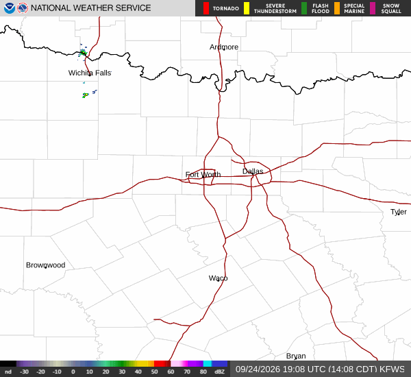
National Weather Service radar for North Texas (KFWS)

*As of Sep 27, 12 PM local time.*

Current Conditions and Alert Status

An Air Quality Alert is currently active for the Allen area, issued by the National Weather Service. While the specific severity and urgency details are not fully specified in the current data, residents should remain aware of potential impacts on air quality. Currently, it is Sunday afternoon with clear skies.

The air temperature stands at 88F, though it feels like 91F due to the humidity. Relative humidity is at 52%, and the dew point is 68F. Winds are blowing from the south at 11 mph, with gusts reaching 18 mph.

These conditions suggest a comfortable but warm afternoon, though the active alert warrants caution for those sensitive to air quality changes.

Today's Forecast and Safety Reminders

For the rest of today, scattered showers and thunderstorms are expected. The sky will remain mostly sunny, with a high near 95F. Temperatures are forecast to fall to around 93F in the afternoon.

Heat index values could reach as high as 98F, indicating significant heat stress potential. The chance of precipitation is approximately 30%. Winds will shift to a south direction, ranging from 5 to 10 mph.

Given the combination of heat and potential storms, it is advisable to stay hydrated and limit midday exertion. Monitor local air quality updates and be prepared for sudden weather changes.
Tonight and Tomorrow Outlook

Tonight, scattered showers and thunderstorms will continue, with partly cloudy skies. The low temperature will drop to around 74F. Southeast winds will be around 5 mph.

The chance of precipitation remains at 30%, with new rainfall amounts expected to be less than a tenth of an inch. Tomorrow will bring a chance of showers and thunderstorms, with mostly sunny skies. The high will again be near 95F, falling to around 93F in the afternoon.

Heat index values may reach 97F. Southeast winds will range from 5 to 10 mph. The chance of precipitation is 30%, with rainfall amounts again expected to be minimal, less than a tenth of an inch.

Residents should continue to monitor weather updates and take necessary precautions for both heat and potential rain.

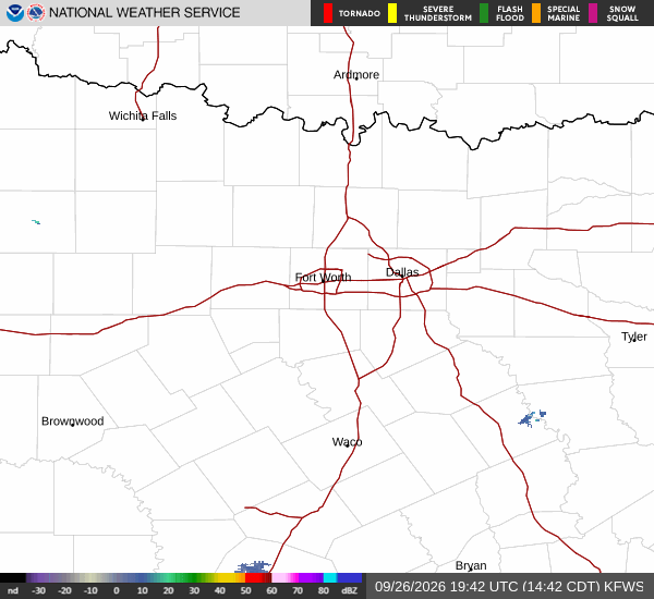
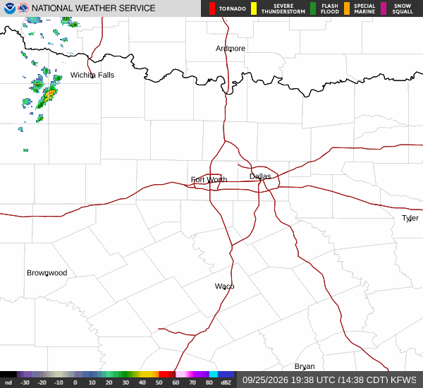
National Weather Service radar for North Texas (KFWS)

Sources

National Weather Service radar

National Weather Service forecast data

Open-Meteo weather data

Share

Zane Lowery

Zane Lowery covers weather, storms, and seasonal life around Allen.

Related Stories

Allen Weather: Steady Warmth and Clear Skies - Sep 24, 2 PM

Allen is enjoying a pleasant afternoon with clear skies and temperatures near 88F. Today's high will reach 95F, similar to yesterday. Expect little to no rain through the evening, with mostly sunny conditions returning tomorrow.

Zane LowerySeptember 24, 20261 min read

More in Sport